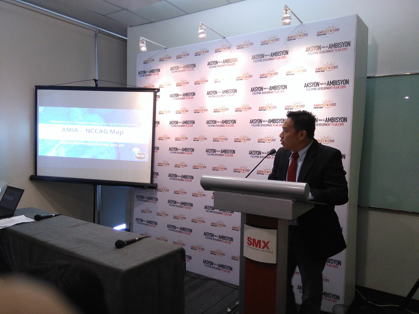
The NCCAG Map provides location-specific information on the natural production potential for 20 selected crops, combined with their exposure to climate-induced hazards, with data as specific down to the barangay-level. Other data may be accessed from the maps such as groundwater availability, poverty incidence, agro-ecological zones, and climate data (temperature and rainfall). As more information is gathered, more elements will be added to the color-coded map.
During the breakout session, Department of Agriculture Undersecretary for Operations Ariel T. Cayanan provided an overview of how the NCCAG Map was developed, how to navigate the map, and its uses beyond agriculture, i.e. providing guidance in investment planning, research and development, infrastructure, and disaster management.

The NCCAG Map is a major output of DA’s Adaptation and Mitigation Initiative, or AMIA, which is handled by the Department’s Systems-Wide Climate Change Office (DA-SWCCO). The map was launched in Malacañang Palace last March, presented by Sec. Emmanuel Piñol to no less than Pres. Rodrigo Duterte.
Aside from offering foresight in agricultural and economic planning, the map would also prove useful for LGUs in preparing their comprehensive land use plans (CLUP) and climate change risk reduction measures in line with their Local Climate Change Adaptation Plans (LCCAP).
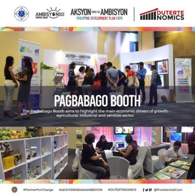
The DA-AMIA NCCAG Map falls under Pagbabago, or reducing inequality, one of the Philippine Development Plan’s three main pillars, the other two being Malasakit, or enhancing the social fabric, and Patuloy na Pag-unlad, or increasing growth potential. As part of the effort to reduce inequality, the government seeks to expand economic opportunities in the agriculture, fisheries, and forestry (AFF) sector (elaborated within Chapter 8 of the PDP). This would be done by improving the sector’s ecological productivity within the ecological limit, i.e. striking a balance between utilization and regeneration of land and water resources for sustainability (PDP Chapter 8).
###
