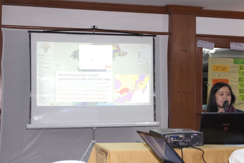
ALFONSO, CAVITE—The Adaptation and Mitigation Initiative in Agriculture (AMIA) presented the National Color-Coded Agricultural Guide (NCCAG) Maps at the Local Climate Change Adaptation Plan (LCCAP) Review and Mentoring Workshop on Friday, October 13, 2017. The workshop was organized by the Rice Watch Action Network (R1), with support from the World Food Programme (WFP), and was attended by representatives from 18 municipalities all over the country among them Disaster Risk Reduction and Management Officers, Municipal Agricultural Officers, and Municipal Planning and Development Coordinators.
The National Color-Coded Agricultural Guide (NCCAG) Map shows the natural suitability of 20 economically important crops which are key to food security in the Philippines. The map also includes areas’ exposure to 8 climate change-induced multi-hazards, enabling end-users to assess risks, vulnerabilities, threat levels, and capacities down to the barangay level.
Participants and observers were pleased and enlightened by the tool as it would aid them in developing local plans, such as their LCCAP and Comprehensive Land Use Plans (CLUP). Furthermore, it would also guide them in administering climate change adaptation and mitigation practices at the LGU level.
The workshop aimed to improve the capacities of LGUs in adopting effective, efficient, and sustainable adaptive technologies, structures, and organizational mechanisms that would reduce the destructive impacts of climate change risks, thereby improving the quality of life in respective municipalities.
###
