As part of its continued efforts to help increase farmers’ productivity and income through science-based decision-support tools, the Department of Agriculture (DA), through the Climate Resilient Agriculture Office (CRAO), has launched the updated version of its National Color-Coded Agricultural Guide (NCCAG) Map.
Agriculture Secretary Francisco Tiu Laurel Jr. and CRAO Director Alicia G. Ilaga led the launching of the NCCAG Map Version 2.0 during the opening of the DA’s celebration of the 16th Annual Global Warming and Climate Change Consciousness Week last November 20, 2023 at the DA Central Office.
The NCCAG map is a database of map overlays that shows the natural suitability of economically important crops and the eight (8) major hazards based on projected climate scenarios for 2050. It overlays data on soil properties, elevation, slope, rainfall pattern, temperature, and climate change-induced multi-hazards. The database features maps that are vital to crop growth and survivability such as water availability and climate data, as well as location-specific information on socio-economic conditions.
NCCAG has proven instrumental in advising farmers on crop selection for optimal production and identifying climate risks in agricultural areas. It also serves as a guide for national government agencies and local government units for the location-specific deployment of technologies and support services based on climate risks.
NCCAG Map Version 2.0 incorporates the latest maps from various authorized mapping agencies, introduces additional layers, and provides users with new interactive features, emphasizing statistical data integration.
Accurate and up-to-date data
DA CRAO Director Alicia G. Ilaga emphasized that updating the NCCAG Map, which was first activated and launched in 2017, was crucial to maintaining the system’s accuracy and reliability.
“The thematic datasets used in the NCCAG Map are obtained from different mapping source agencies, which generate new sets of data every five years. Updating the map ensures that all information remains accurate and up-to-date,” Dir. Ilaga stated.
She added that this initiative aligns with their commitment to providing tools that assist in providing valuable insights and facilitate well-informed planning and decision-making processes regarding agricultural suitability, climate hazards, and land cover data.
New features
NCCAG Version 2 now features updated crop suitabilities and an additional crop, bringing the total number of economically important crops featured in the database from 20 to 21.
These include abaca, banana, cacao, cassava, coconut, coffee, corn, garlic/onion, legumes, mango, palm oil, papaya, pineapple, rice, rubber, sugarcane, sweet potato, taro, vegetables, yam, and bamboo—the latest addition. Additionally, the map provides updated data on eight climate-change-induced hazards.
The updated version introduces a new layer called Rice Suitability Zones (RSZ), based on data from the Philippine Rice Information System (PRiSM). This layer identifies current and potential expansion areas for rice cultivation and provides information on soil properties vital to rice growth.
NCCAG Version 2.0 also integrates the Climate Risk Vulnerability Assessment (CRVA) Maps of 63 provinces nationwide and includes location and data on the DA’s AMIA Villages.
Moreover, it introduces enhanced map interactivity features, focusing prominently on statistical data generation. Users can now choose from three distinct types of statistical data: (1) Crops Suitability + Multi-Hazards; (2) Crops Suitability + Land Cover; and (3) Multi-Hazards, providing a tailored and more user-friendly experience.
The updating of the NCCAG Map was a project under the AMIA Program through DA Regional Field Office 4B-Mimaropa.
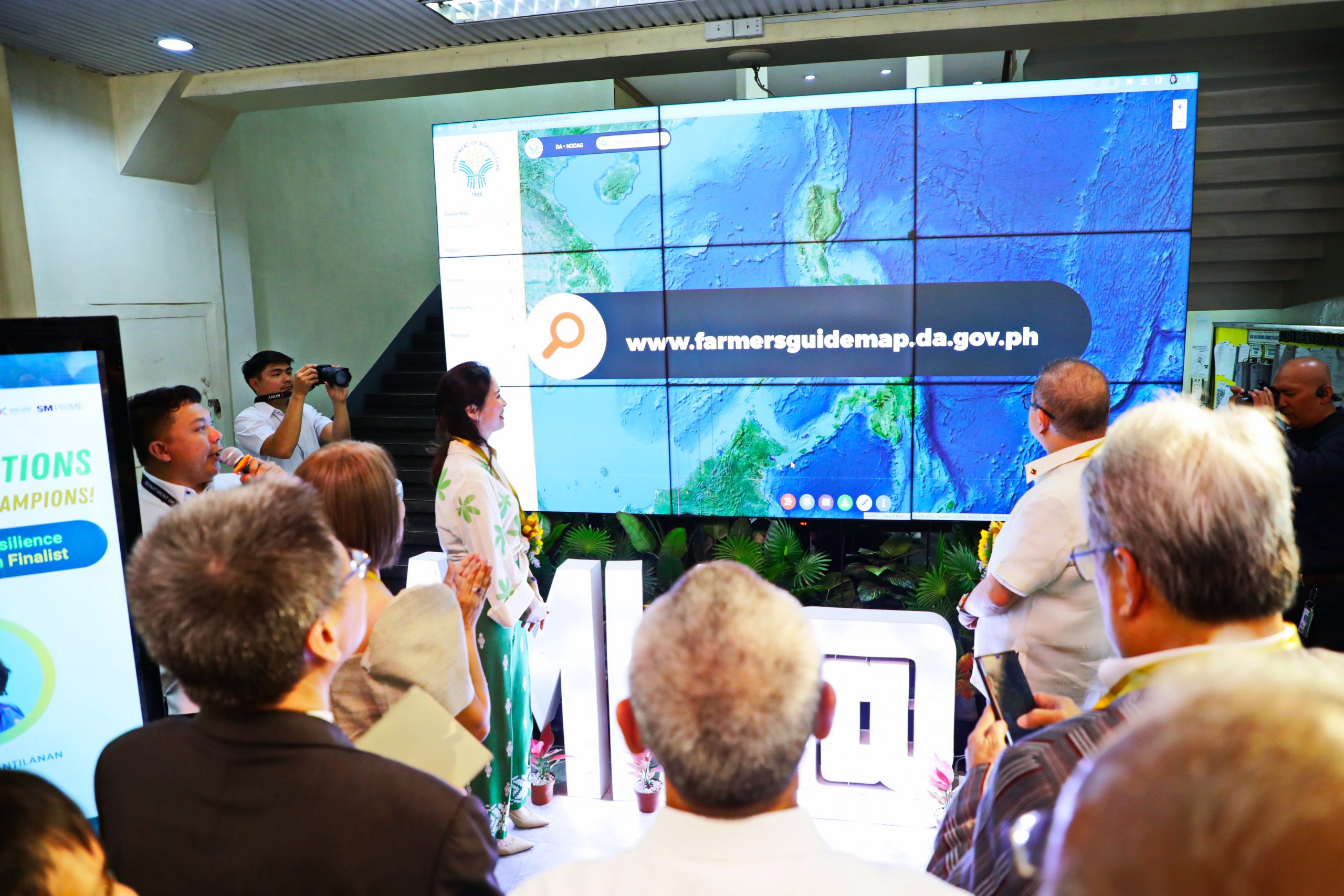
The NCCAG Map Version 2.0 is available for public access at www.farmersguidemap.da.gov.ph. ### (Joy F. Calvar, DA CRAO)